By boat I visit the islands of Santo Antao, Sao Vicente, Praia, (Sal and Boa Vista)of the Cape Verde.
Cape Verde
Zum deutschen Beitrag. This blog post contains unpaid advertisement. This trip was paid by myself and all I have written is my personal opinion. You´ll find affiliate links. If you buy a product through this link, you´ll not pay more, but I’ll get a small commission, that helps to go on with my blog.
The Cape Verde islands were circumnavigated in 1445 by Antonio Fernandez, but it was not until about 10 years later that Alvise Cadamosto first entered it. Since they were very green, they were called Ilhas de Cabo Verde, roughly translated, green islands (after the “Green Cape” on the west coast of Africa). The archipelago consists of 15 islands, of which only the 9 largest are inhabited. In addition, there are some very small islands that are upstream of the larger ones.
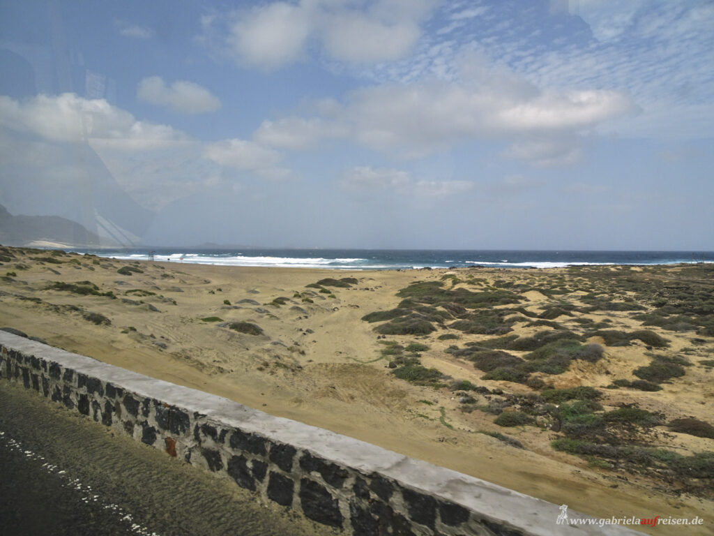
When the volcano islands were discovered, 570 km off the West African coast, they were quite green and completely uninhabited. Since they have risen from the sea through volcanic activity and have never been connected to the continent, there are no larger animals originally found here. Every living mammal here was introduced by the settlers, except for one species of bats.
The northern islands are called the “islands above the wind”, the southern “islands under the wind”.
Very short historical overview
Settlers soon came from Portugal, but also from other European countries. Since the Cape Verde are strategically well located, they soon became a slave transshipment point. The people from Africa were first brought here and then distributed to the various ships that left for the “new” world. They then took the slaves to the sugar cane plantations in the Caribbean or America.
When slavery was abolished, many ships stocked up on new provisions, coal and water before crossing the Atlantic.
Today
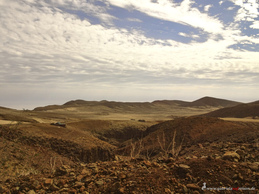
In the meantime, the Cape Verde are unfortunately no longer green. For about 50 years, there has been a great drought here, in the last 4 years it has hardly rained at all, even in the rainy season.
Since constant trade winds blow here, these dry out the soil additionally. The Cape Verde are also the source of the hurricanes, which occasionally hit the American continent and the Caribbean in the summer months.
On July 5, 1975, the Cape Verde became independent of Portugal. The official language is still Portuguese, but the colloquial language is Creole, which has developed from the various African languages of the slaves left here and a mixture of European languages.
Its capital is Praia on the island of Santiago.
Cape Verde
There are around 2 million inhabitants, of whom only about 500,000 actually live here. The rest is scattered all over the world, as there is hardly any work here. Around 90% are Catholic.
Around 50% are under 14 years old. Anyone who lives together for three years is considered officially in a relationship. Therefore, many people are not married at all.
How do I get there?
There are international airports on the islands of Sao Vicente, Praia, Sal and Boa Vista. However, I travel with the cruise ship “Vasco da Gama” from island to island.
The trip will take place at the end of November 2021, in the middle of the “fourth wave” of Corona. Everyone on board is vaccinated or recovered, so we are allowed to dock on the capes. We start in Gran Canaria, of course first with an antigen test, right before we go on board.
The boat trip takes two days before we are supposed to be in Porto Novo on Sao Antao to lie on the roads (i.e. at anchor in the port, but not at the pier). Unfortunately, it is so windy that it is not possible to disembark with the tender boats, so we sail on to Sao Vicente, where we can lie at the pier.
Sao Antao
We have to get up very early in the morning to take the first ferry from Mindelo, the main town at Sao Vicente to Porto Novo at Sao Antao , because our excursions should take place there.
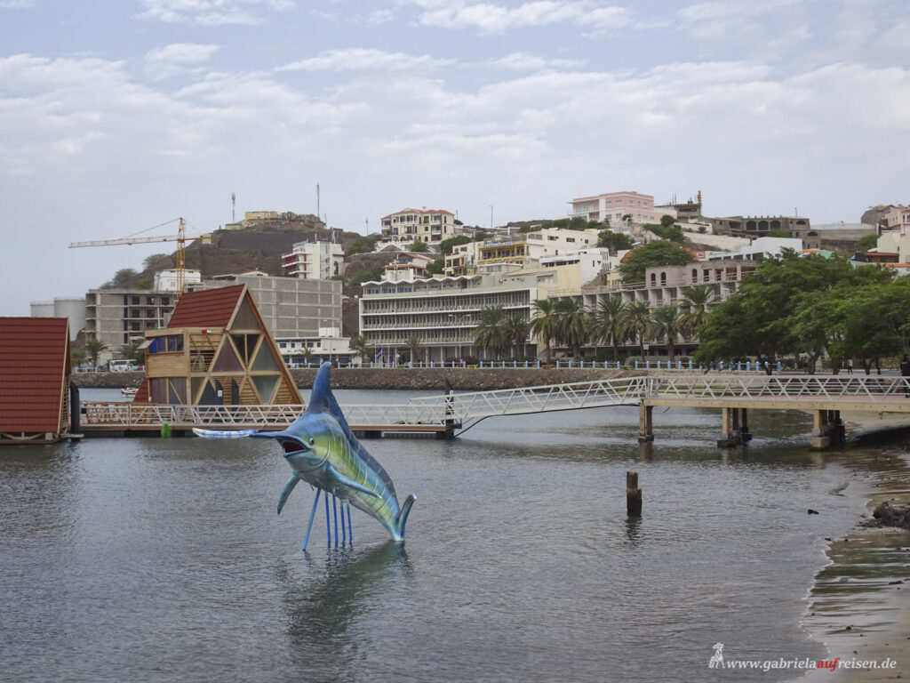
After an approximately one-hour, rather shaky crossing, we reach the harbor. Unfortunately, the local health service is not yet on site, so no foot passenger, not even the locals, are allowed to leave the ferry because of us tourists.
No one knows what to do with us. The shipping company has sent our vaccination certificates to the local authorities and after about 20 minutes we are allowed to leave the ferry, but not yet start our tours. After another hour, all the exams are done and off we go.
I have opted for a
Jeep excursion
crossing Sao Antao. So, I bravely climb into the back of a jeep, where the guests sit transversely to the direction of travel. The benches are not largely upholstered and the narrow back support not at all.
For a few kilometers we drive on a paved road through the barren volcanic landscape, then it goes up into the rugged mountains. First of all, on a kind of cobblestones. The narrow road winds higher and higher, the abyss next to me gets deeper and deeper, but also the views of the steeply rising, rugged mountains and rock needles are becoming more and more imposing.
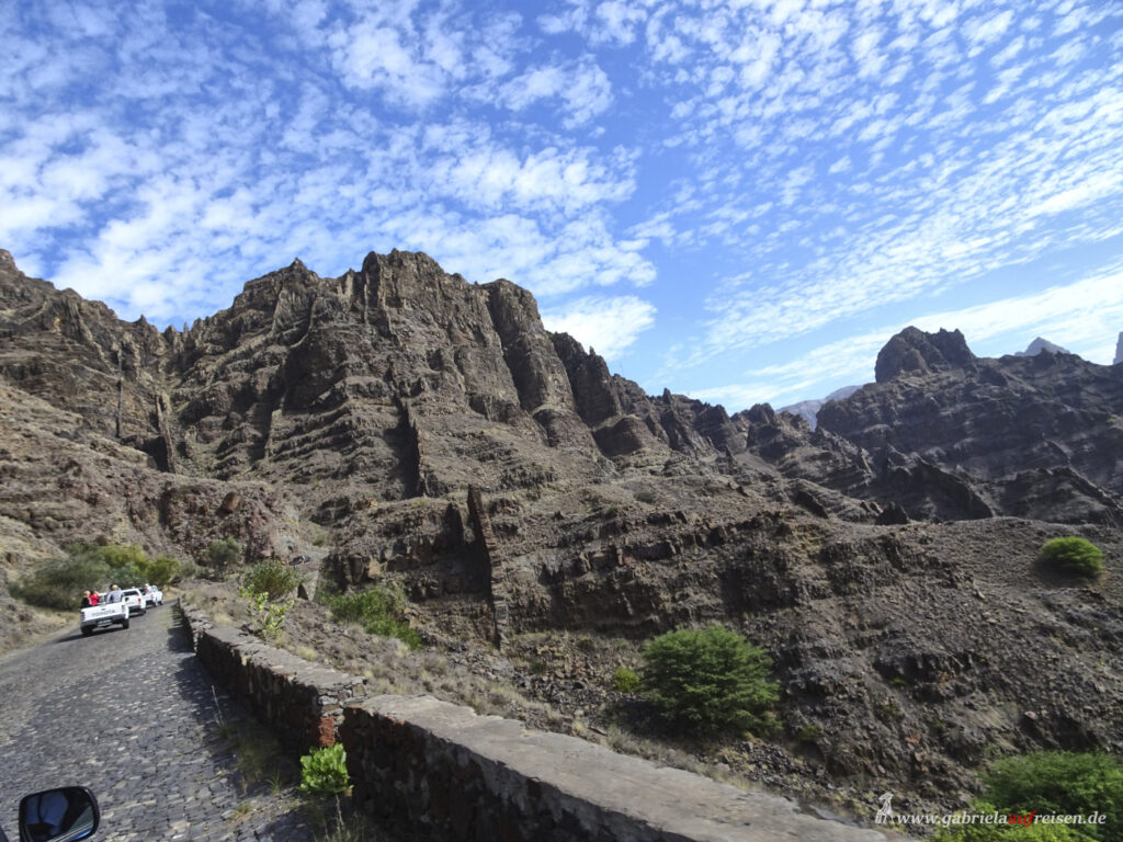
The wind is getting a little less, we drive very slowly, and I dare to take off my windbreaker. The sun can only be seen briefly from time to time, usually it is more hidden behind the clouds. At a viewpoint, high up in the mountains, we make a photo stop.
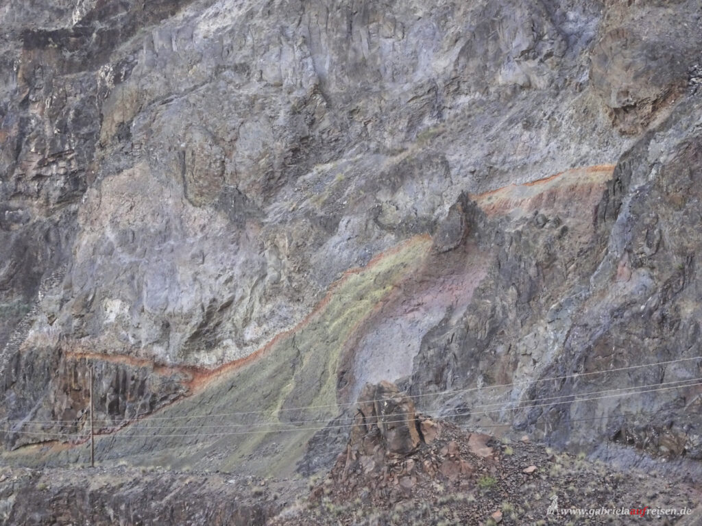
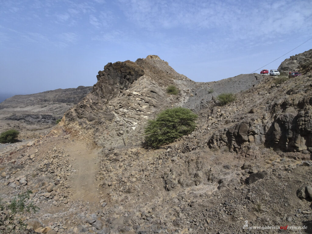
The view of the valley is breathtaking. On the mountains you can clearly see how the force of the volcanoes has pushed up and deformed the various rock layers.
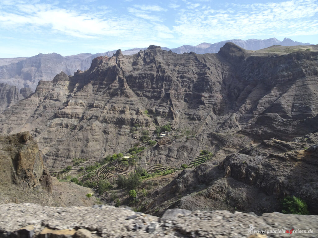
Sometimes we see small houses and their terraced fields. Many are abandoned, as the volcanic soil is actually very fertile, but nothing can thrive without water.
Dark lava layers are replaced by light and reddish layers. Active volcanoes have not existed here for ages, the land has been exposed to erosion, the eternal wind and water form bizarre formations.
In the valley of Paul there is agriculture and a waterfall that supplies the valley with the precious water. However, we do not visit this part of the island.
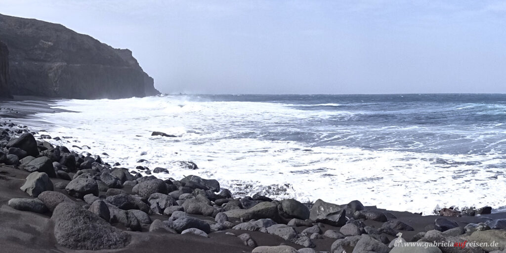
At some point, after what felt like 1000 hairpin bends, we reach a hidden black beach through a dry riverbed and washed-out rocks. It would not be accessible with normal cars, so we have it all to ourselves. Swimming is not possible, because due to the strong wind and the current, the breakers hit the beach. In the past millennia, the high waves have gnawed an archway in the rocks, through which the roaring sea sweeps through. What a force of nature!
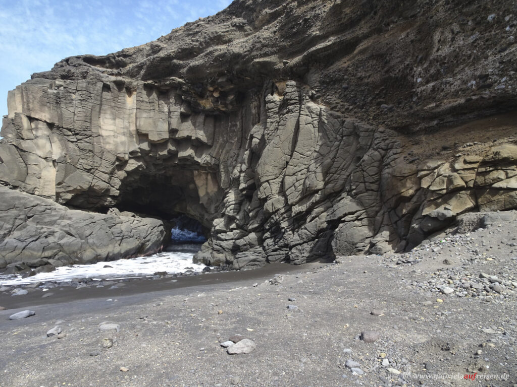
We marvel and eat from our lunch boxes, then we continue.
Way back
Back we drive over narrow dirt roads, which are just wide enough that they can be driven by our jeeps. And then comes the abyss. Not for people with a fear of heights! The path is getting higher and higher. The mountains are no longer rugged, but rather rounded, formerly probably overgrown. Again and again we see lean goats looking for the few, long since dried up green. The few farmers still living here let them run free, because there are no predators and, in the evening, they find their way home, hoping for food.
Our last stop is in a small village high up on a hilltop. On the terrace boards there are still a few almost dried up sugar cane plants. A small donkey is currently being loaded with a canister of water. The power generators have not been running for a long time, but a few solar panels have now been installed.
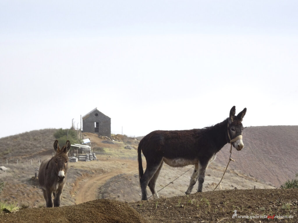
The local guide “conjures” a bottle of the “Grogue“ distilled here, a sugar cane brandy, from the jeep and we are allowed to taste it all once. To me, it tastes a bit like banana. It burns a bit, but is very digestible. Usually, the distillate has around 60 to 70%, it is then stretched with water or fruit juices to about 43%.
Now it’s only downhill, it has become very hazy, the coast can only be guessed. The strong wind also whirls up the bone-dry ground. I am now grateful for my rain jacket, which warms me a little and softens the strong wind at the back of our jeep. Then we are already at the port.
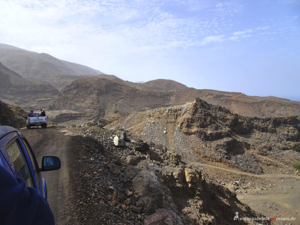
Our driver, a trained electrical engineer, receives a good tip and off we go on the ferry. The temperature of all passengers is measured and all strictly adhere to the wearing of a mask.
The crossing is again a little choppy and we are looking forward to arriving safely in Mindelo on Sao Vicente soon.
Sao Vicente
Here I decide to go on a discovery tour of the island. We drive to the east of the island.
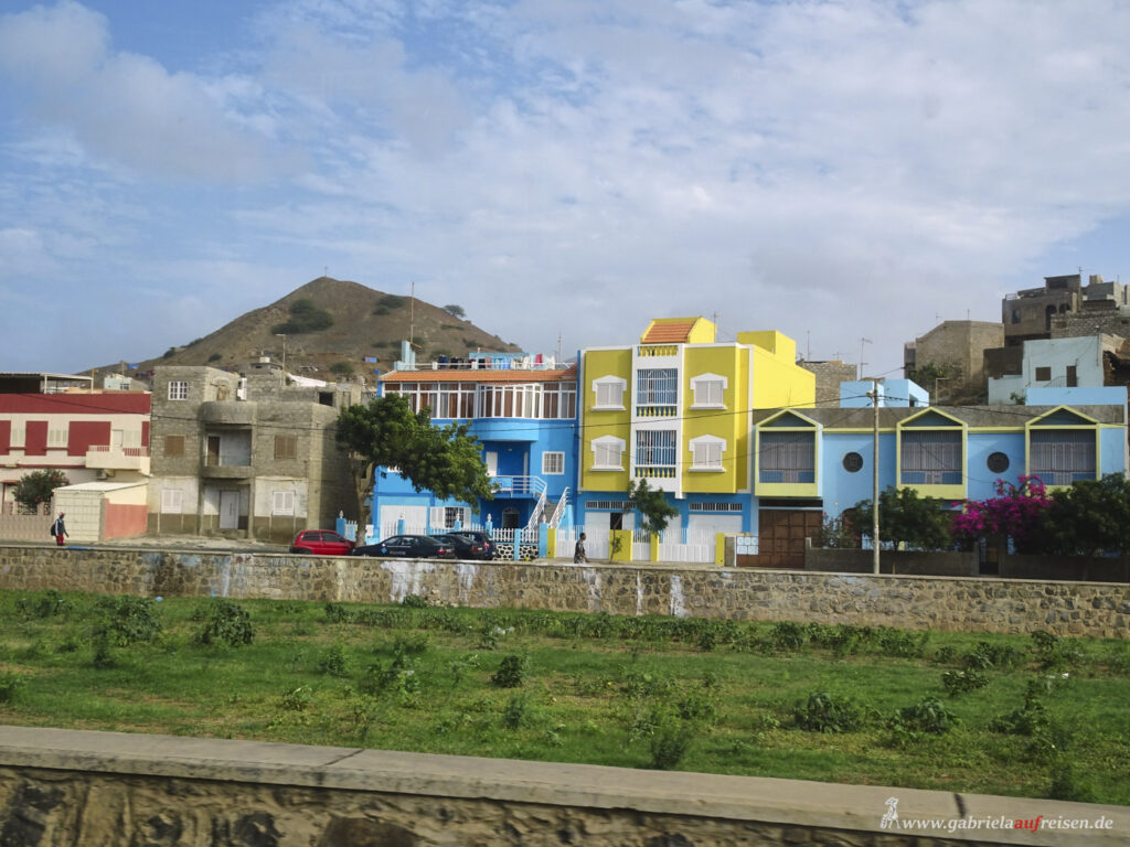
Sao Vicente is said to be the driest of all the islands. Acacias grow here, which the Portuguese have introduced to prevent soil erosion. Unfortunately, the trees spread very wide and except for a few goats eating the seasonally growing fruits , the trees are useless. On the contrary, those who grow them in the garden quickly notice that the roots creep into the masonry and blow it up.
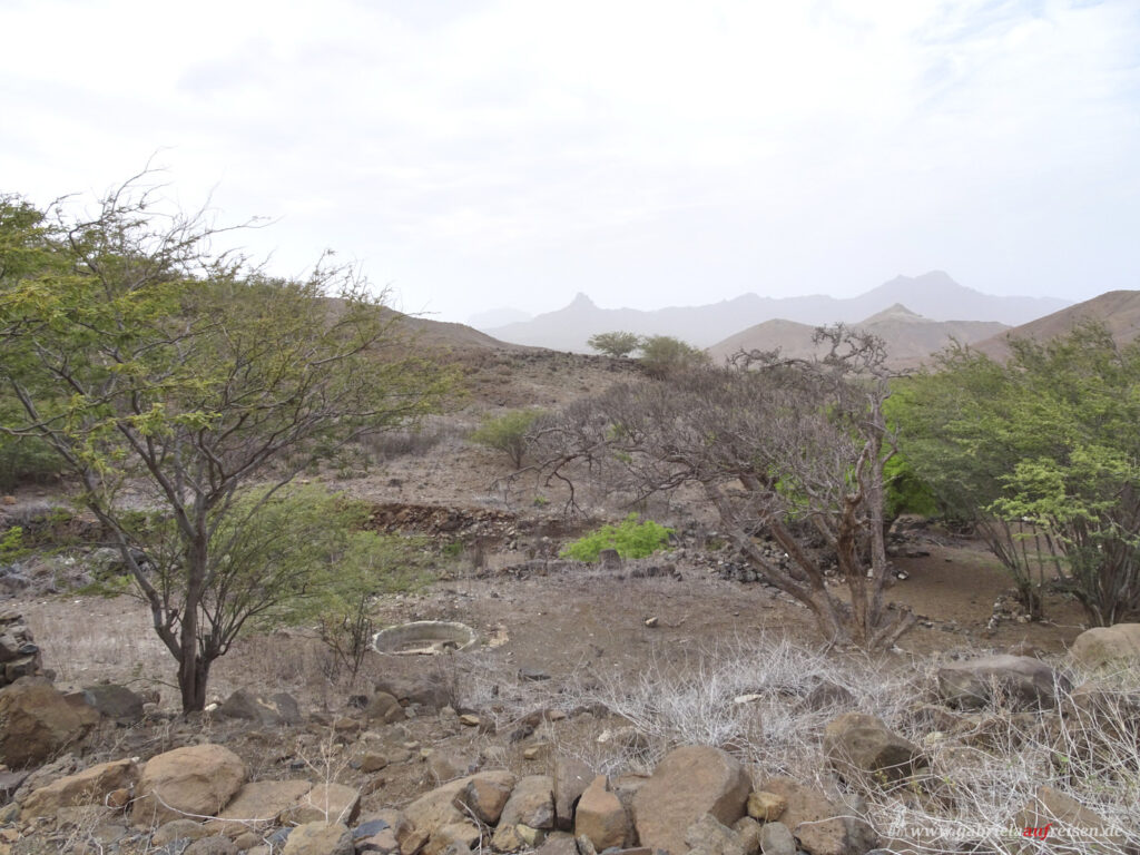
Everything is barren here, the mountains are not nearly as high as on the neighboring island. Many people have long since given up their houses and farms because of the drought, the terraced fields lie fallow. It looks desolate and empty.
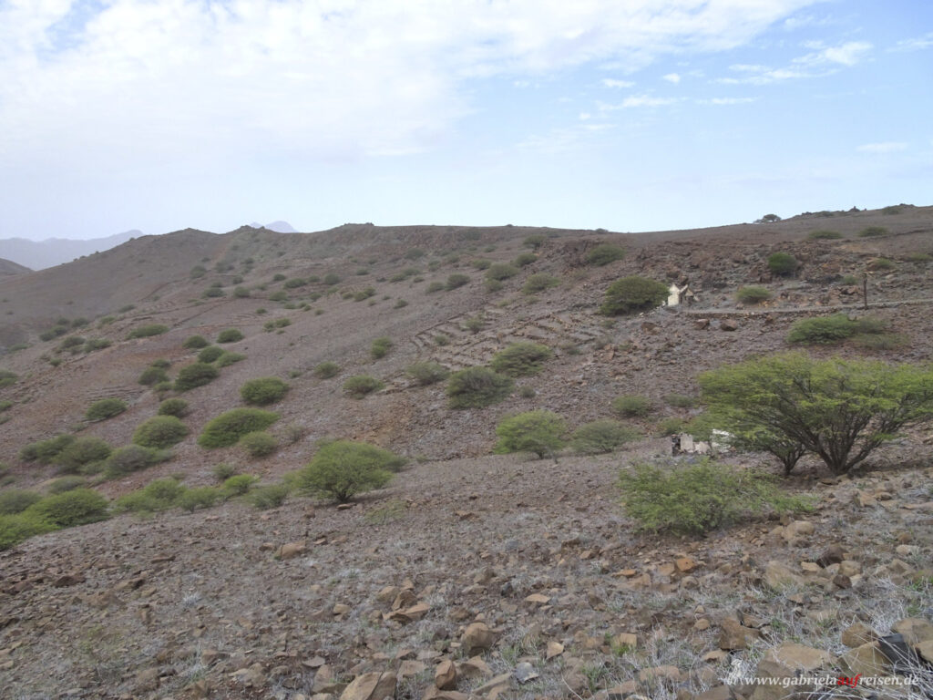
At the former, now almost abandoned village Mato Inglese we get off and start our approx. 6 km long hike over dirt roads and partly scree heaps. Unfortunately, not everyone has read the program carefully and now has his dear need to follow the guide with thin sandals on their feet.
A fierce wind blows down the mountains. It’s a good thing that it doesn’t come from the front. The guide, who looks a bit like Will Smith, tells us that this wind is normal here. He studied in Boston for a long time before returning to his home island of Fogo. A few years ago, the last active volcano in Cape Verde erupted there and buried the fertile lands where wine, fruit and vegetables were grown, under a thick layer of lava. Due to lack of work there, he came to Sao Vicente.
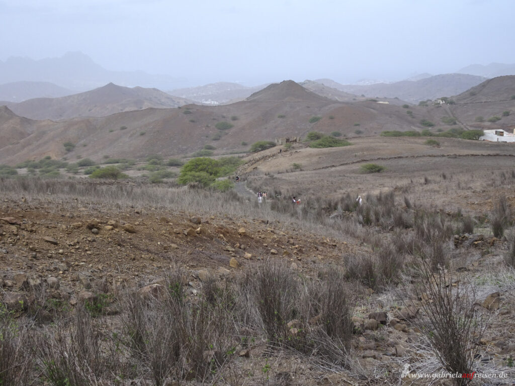
The path that leads us over hills and stony fields ends at the main road, where the buses are already waiting.
On the coast of Sao Vicente
To the left and right of the road rise ancient remains of volcanoes. On the quite new coastal road the mountains rise on the left and on the right we drive along bays and high dunes with white sand from the Sahara. Due to the constantly blowing wind, vast amounts of Saharan sand are blown here, which have piled up high dunes over the centuries. The beaches are almost deserted, the surf thunders sometimes violently on the beach. Again and again, we drive past holding bays with picnic tables until we stop at one.
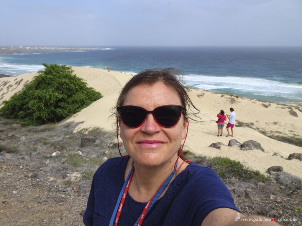
Again we get a glass of Grogue, plus a fantastic view over the dunes, the sea, mountains and in the background the village Baias das Gatas, where we will have a typical lunch afterwards.
Our guide tells us that even the sea turtles, which are considered extinct here, come back to lay their eggs. Natural enemies, such as birds, they have only a few. However, the wild dogs are often the eggs’ fate and the turtles themselves are considered a delicacy. Of course, they are protected, but they are still hunted. So, tour guides and other locals have joined forces and protect the clutches from June to September, so that the little hatchlings make it safely into the sea and their mothers no longer end up in a soup pot.
Baia das Gatas
This small town right by the sea has enjoyed an influx of people in recent years. Many new houses are being built here. This small town is famous for a “Full Moon” festival held every year in August at the full moon. Up to 50,000 visitors are said to have celebrated here on this special night with music.
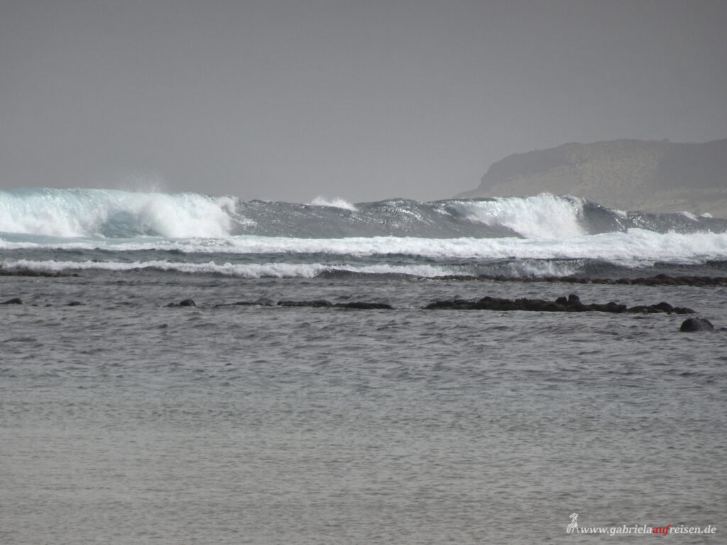
After the delicious meal and a “foot bath” in about 23° C warm Atlantic Ocean, the small bus takes us up serpentines to the highest point of the island, the
Monte Verde
There are actually some few greener plants growing here, perhaps due to the clouds that leave a little moisture. The mountain is about 700m high. High up, the farmers try to grow sugar cane on terraces, but the sticks are puny and almost dried up.
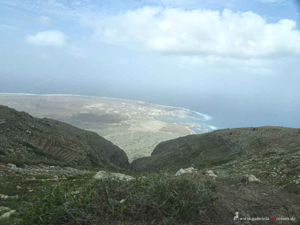
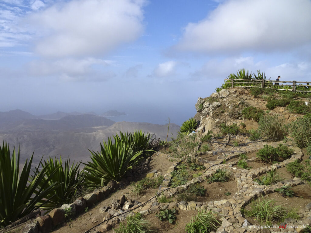
We stop at a viewpoint, from which we have a great view over Mindelo, the islands´ capital and on the other side to the white dunes, which do not fit into the picture of the dark lava mountains.
In the haze we recognize our ship, the Vasco da Gama, lying in the harbor, but also other mountains in the western part of the island.
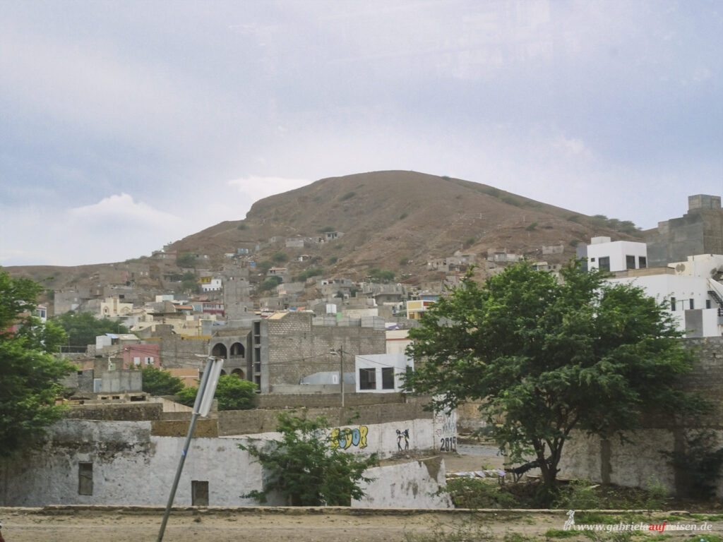
Then we go back to the ship, where another antigen test is waiting for us so that tomorrow we can disembark at
Santiago Island
with the capital of Cape Verde, Praia .
Actually, the island of Sal and tomorrow the island of Boa Vista should be called, but the waves are still so high to unship on the open sea is not possible. In Praia we can dock at the pier again.
Again, I have booked a jeep tour over the island. The landscape again is barren, and green are only the few acacia trees.
I’m sitting in the first jeep, together with a couple from Bavaria and the local guide. We do not drive in the direction of the mountains, but opposite to the beach of
Sao Tome
Colorful fishing boats lie here on the black beach and unfortunately also a lot of garbage. A sight that one has long since become accustomed to on many beaches in the world. Unfortunately, it doesn’t get any better.
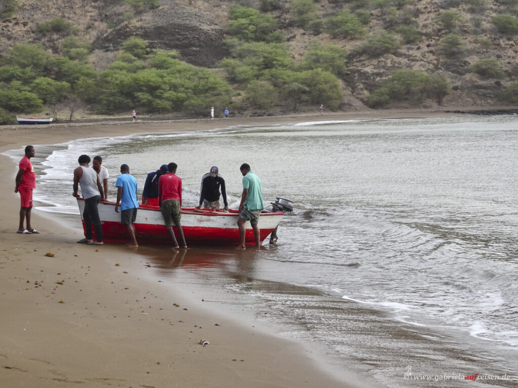
A fishing boat with four fishermen will soon be pulled ashore. The only catch is a tiny fish, little more than a bite. No even a cat would be satisfied with that.
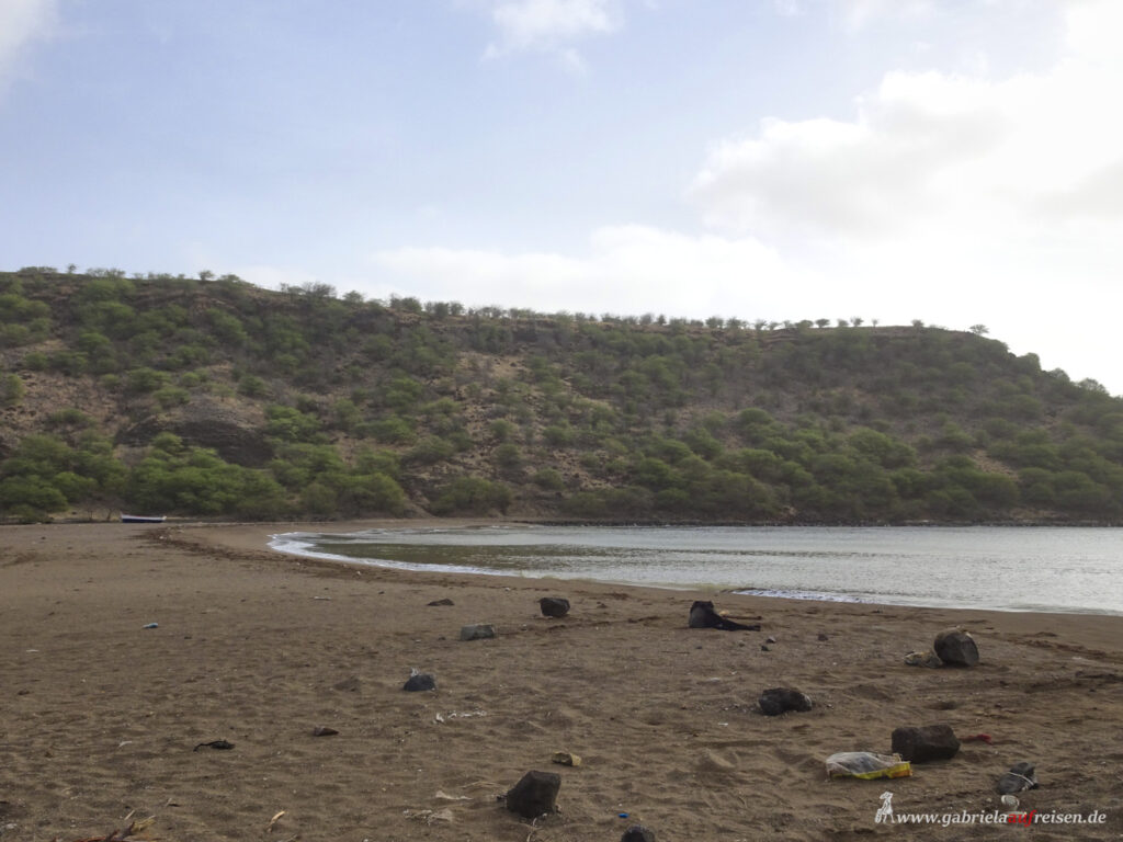
As in front of many islands and coasts of the world, the seas are empty. For 40 years, China was granted unlimited fishing rights for reconstruction aid after the independence in 1975. The time is long over, but the industrial ships have remained. The fishermen are fighting for survival.
We continue to
Sao Francisco Beach
Deserted is the parking lot and also the white beach. The waves would probably be too high for swimming today, but the warming sun and the warm wind are just as well! There even situated is a small stall, but it is also closed.
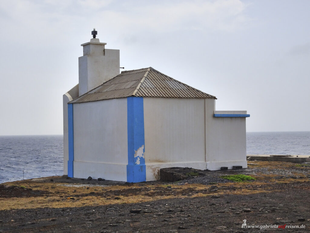
Now we are to drive to the old lighthouse. We leave the well-developed road and turn into a dirt road.
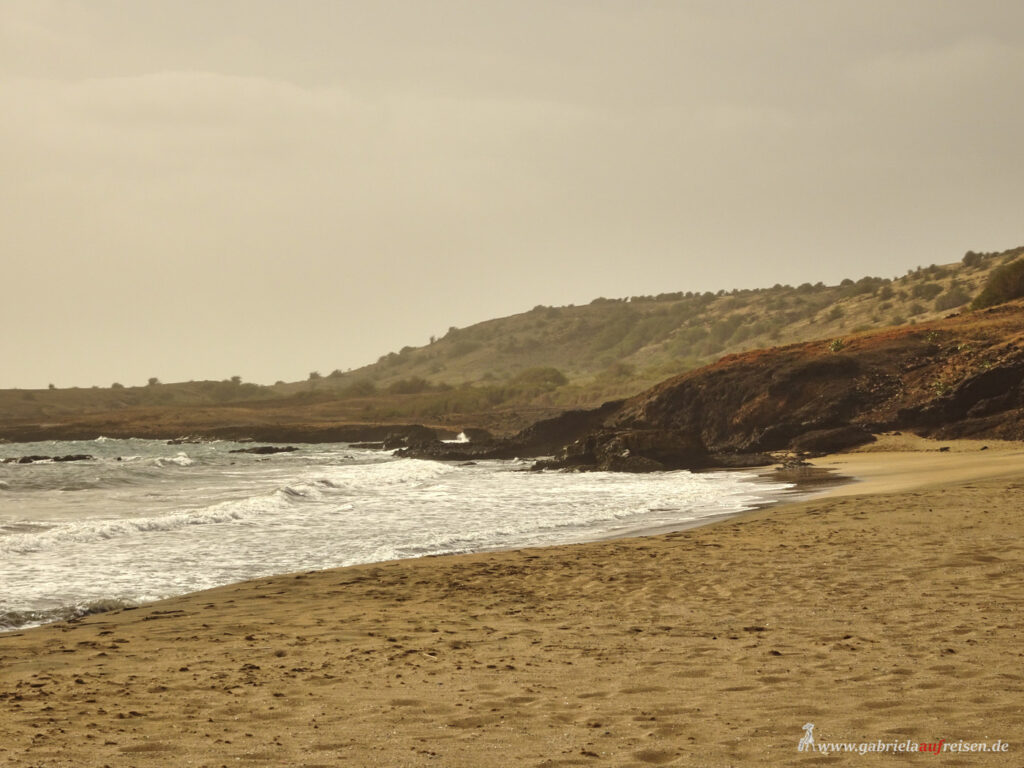
Our driver takes a wrong turn for several times and all the following 13 jeeps have to turn around as well. None of them has been here for 18 months and with the many narrow paths between the scrub, I would probably have no orientation either. Of course, there are no road signs at all.
At some point we stand in front of the old lighthouse, below us, the sea roars on the black lava rocks.
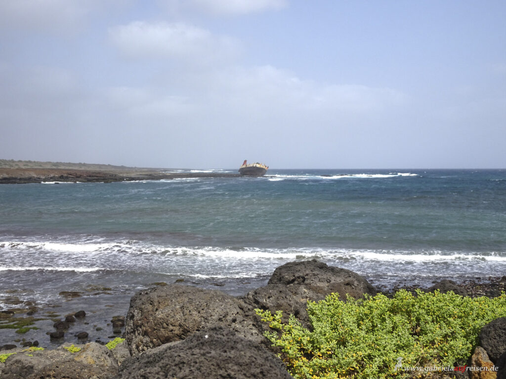
The last highlight of this tour is a visit to the shipwreck of a former supply ship. It is located just off the coast, where it was stranded a few years ago due to damage. It was unloaded and left to the roaring waves. Desolate!
Finally, we make a short stop at Praia Baixo, a black beach that is a little more sheltered as it is located in a large, natural bay. Here you could probably bathe if we had time.
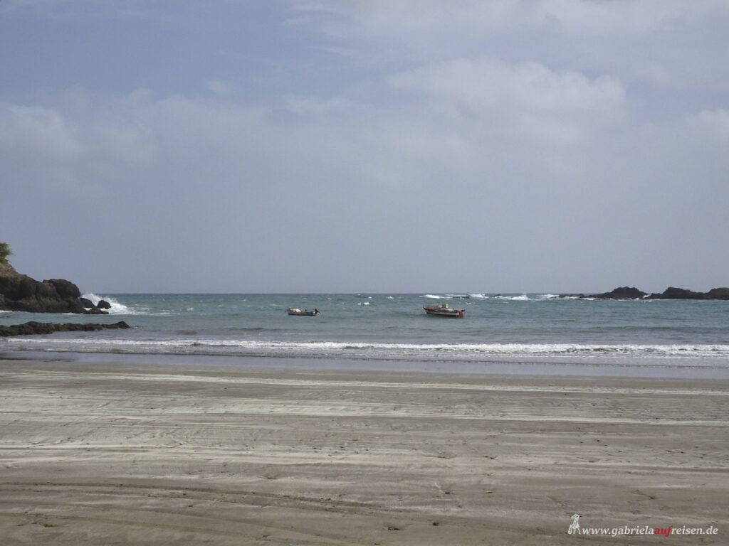
This southeastern part of the island is mostly flat and very barren. Everything has withered and there are very few people living here. The rest of the island is dominated by mountains.
Sal und Boa Vista
Unfortunately, the wind that is always blowing here does not calm down at all and gets rather stronger. So we can not visit the following two islands, Sal and Boa Vista. A larger ship, such as the Vasco da Gama, can unfortunately not dock on these islands, but anchor only outside in the deep water. With these winds, the swell is too high and disembarking into tender boats is way too dangerous.
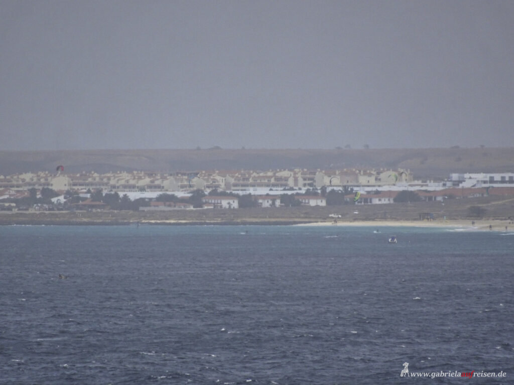
So we unfortunately only drive past both islands, and can not visit the beautiful white beaches there. The islands are rather flat with only a few elevations. The beaches are long and white. Both islands are just as barren and have very few water sources. Since many large hotels have been built on both islands, tourism, an important source of income, contributes to water scarcity.
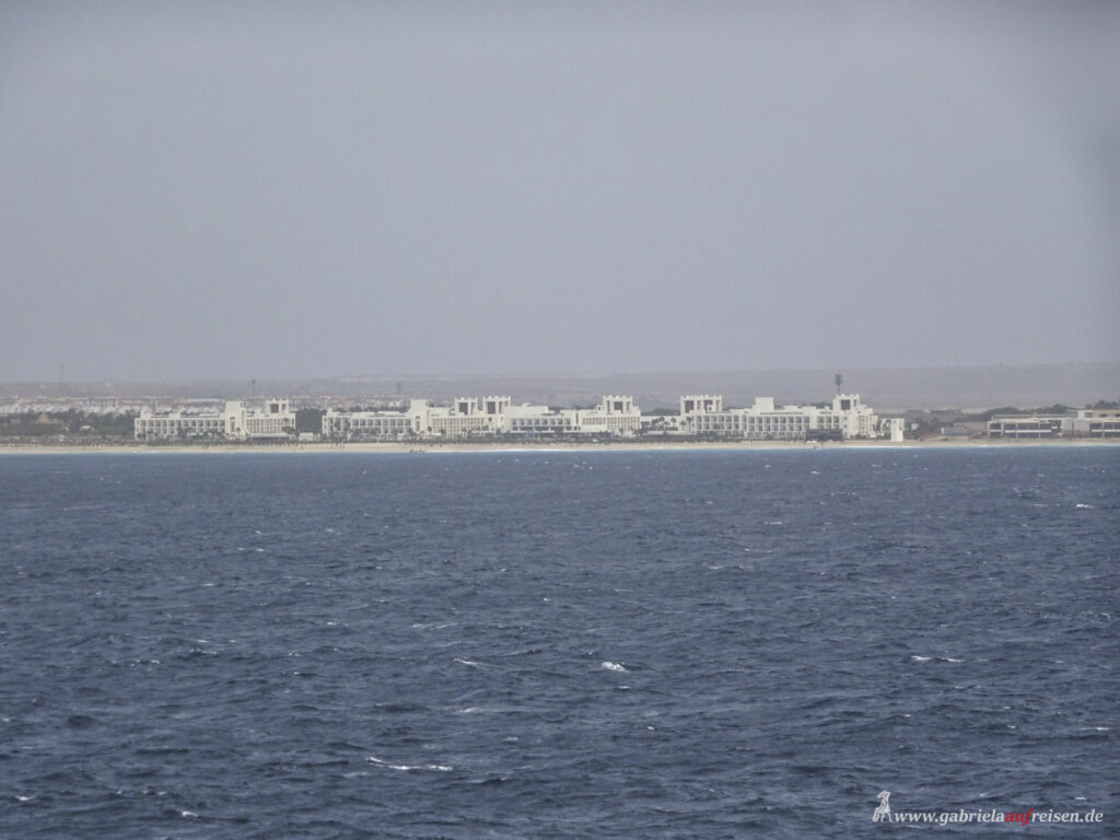
It’s a pity that the wind is the source for cancelling the last two islands and so we will now head north again, back to the Canary Islands. Two days earlier than planned. After all, instead of Sal and Boa Vista, we now visit Tenerife and Gomera, which were also created by volcanism.
If you don’t want to miss an article again, just subscribe to my newsletter! I am happy about it! You are also welcome to leave a comment here or of course on my Facebook, Instagram or Pinterest sites. Again, I am happy about every “like”!
Until then! Follow me!
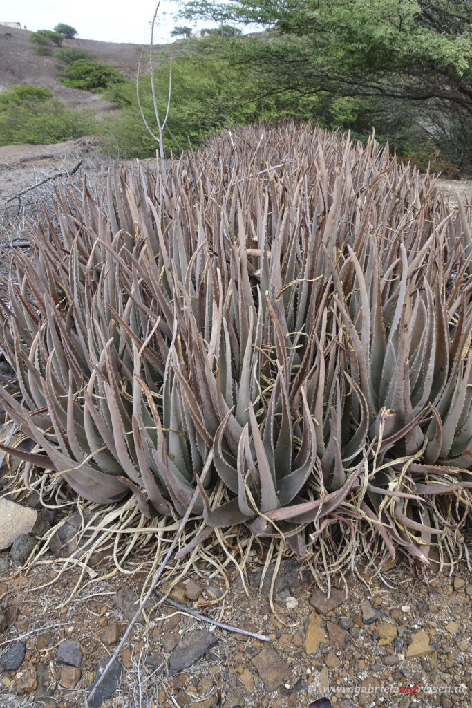
You like Africa and would like to read more about it? Go this way and guess where it is
Liebe Gabriela,
mit den Kap Verden hab ich mich auch schon ausführlich beschäftigt, war aber leider noch nicht dort. Wir liebeäugeln immer wieder mal mit dem Reiseziel. Die Welt ist einfach zu groß für reisende Familien mit (nur) Ferien. Aber wir kommen bestimmt noch hin. 😉
Vielen Dank für diesen ausführlichen Einblick.
Viele Grüße
Tanja
Liebe Tanja,
das wird bestimmt noch was! Aber du hast recht, es gibt so viel zu entdecken. Die Inseln stehen ja nun schon Millionen von Jahren, da kommt es auf ein paar mehr oder weniger nicht drauf an und ihr werdet schon noch hinbekommen.
Liebe Grüße
Gabriela
Liebe Gabriela,
auch wenn ich noch nie auf den Kapverden war, ich stelle es mir ein wenig wie Lanzarote vor. Besonders bei Sonnenschein leuchten die bunten Farben und es ist eine wunderschöne Stimmung. Dein ausführlicher Bericht mit den schönen Bildern zeigen genau dieses Bild.
Du machst richtig Lust auf eine EntdeckerTour auf die Inseln.
Liebe Grüße, Katja
Liebe Katja,
ein wenig ist es wie Lanzarote, allerdings sind die Berge auf den Kapverden viel höher.
Liebe Grüße
Gabriela
Liebe Gabriela,
vielen Dank für den tollen Bericht über die Cap Verden, über die ich bisher eigentlich nichts wusste. Hier gibt es relativ viele Menschen, die von den Inseln stammen und über den Senegal nach Frankreich gekommen sind. Dank dir weiß ich jetzt auch warum.
Liebe Grüße
Felicitas
Liebe Felicitas,
ich wusste vor meinem Urlaub dort auch nicht, dass so viele Einwohner in anderen Ländern leben müssen, um überhaupt einer Arbeit nachgehen zu können.
Liebe Grüße
Gabriela
Ein sehr ausführlicher Bericht zu den Kapverden! Eine meiner nächsten Kreuzfahrten geht sicherlich auch dahin.
Dann drücke ich Dir mal die Daumen, dass es bald losgeht.
Liebe Grüße
Gabriela